Topographic surveys
We map ground elevations and contours, trees, structures, utilities and other features, at the contour interval your engineer specifies. You receive a signed drawing and a CAD file ready for design, drainage and grading.
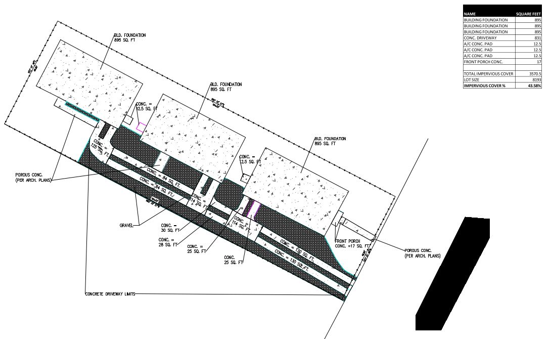
Aerial mapping and LiDAR
For large tracts, ranches and hard-to-reach sites, aerial collection captures detailed 3D ground data and imagery faster than walking every acre.
- Orthomosaic aerial imagery
- LiDAR collection, including ground under tree cover
- Surfaces and contours for design
- Stockpile and earthwork volume calculations

Construction surveying
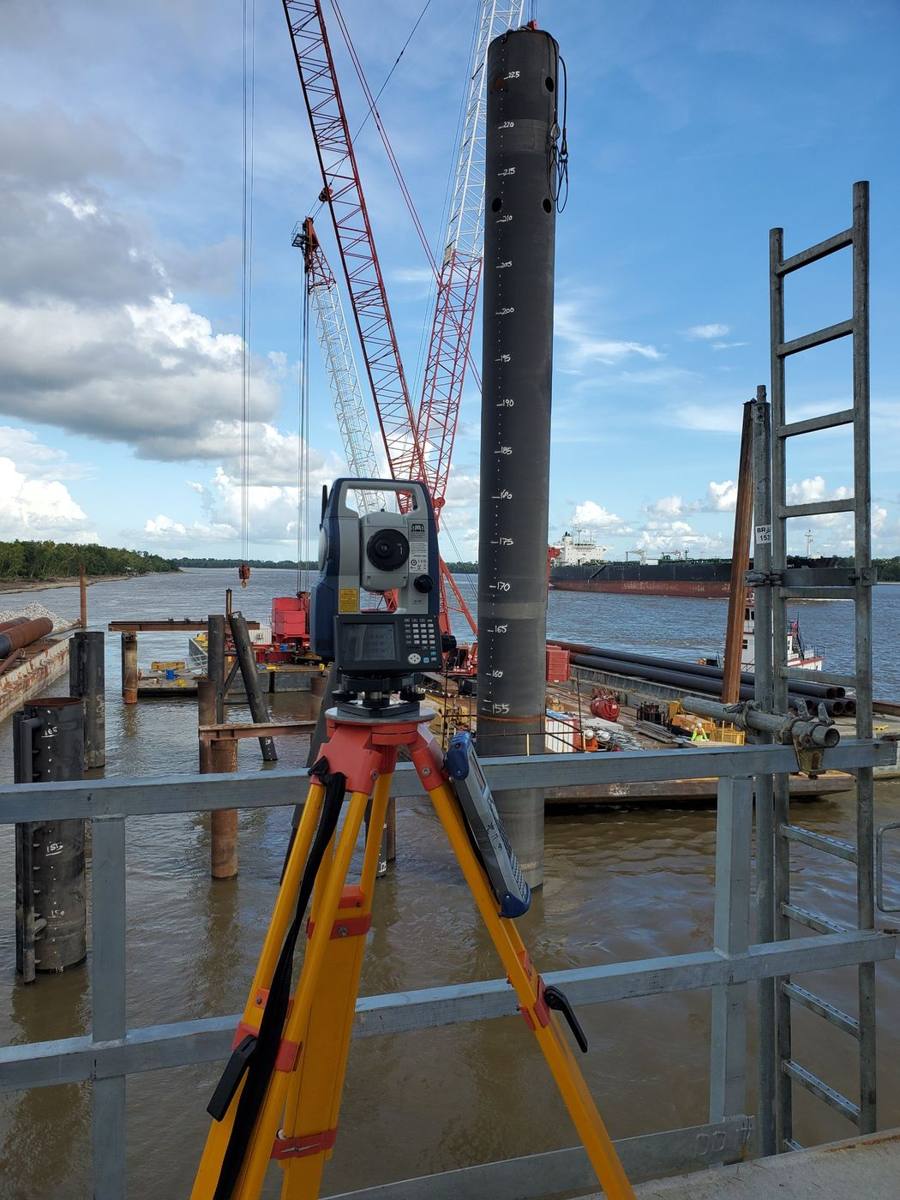
Survey support through every phase of construction: survey control, construction staking, as-built surveys, volume calculations and cut and fill reports, for residential, commercial and public projects.
Ready to get started? Request a quote or call 512-766-6430. See also our common questions and service area.